
Still Image
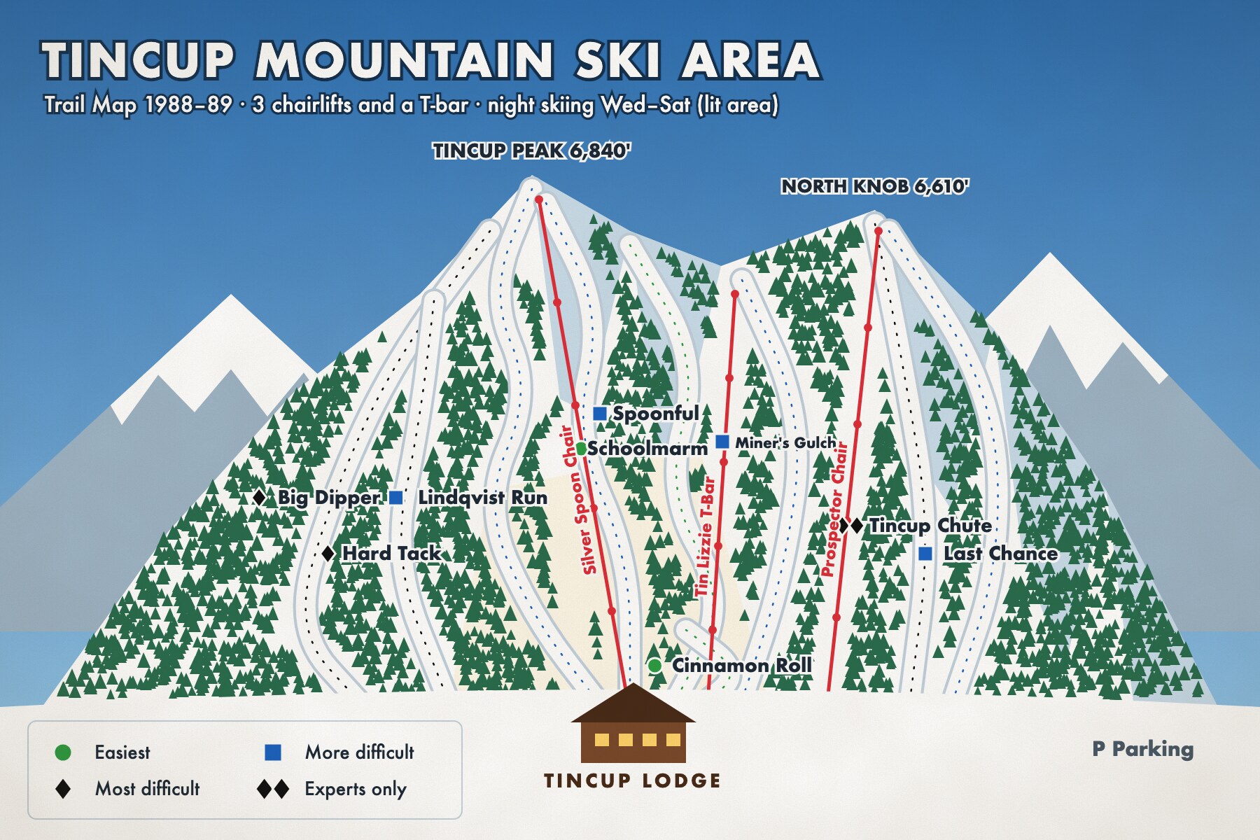
Tincup Mountain Ski Area trail map, 1988–89 season
- Title
- Tincup Mountain Ski Area trail map, 1988–89 season
- Description
- Nine trails with difficulty symbols, the Prospector chair to North Knob (1971), the Tincup Chute and the lit night-skiing area. This was the last map printed before the ski area closed.
- Creator
- Summit Graphics, Boise (fictional)
- Date
- 1988
- Identifier
- TINCUP.1988.01
- Publisher
- Tincup Mountain Ski Area
- Rights
- Fictional demonstration content created for the Omeka S demo. Free to reuse (CC0 1.0).
- Subject
- Trail maps
- Skiing
- Night skiing
- Type
- Map
- Original Format
- Offset lithograph, folded
- Physical Dimensions
- 45 × 30 cm
- Spatial Coverage
- Tincup Mountain, Harlow, Idaho (fictional)
- Site pages
- The Last Chair, 1984–1994